Sign Up
School Account Sign Up




What Do a Swamp, a Skyscraper, and a Cornfield Have in Common?
Imagine you're flying across the United States, looking out the window.

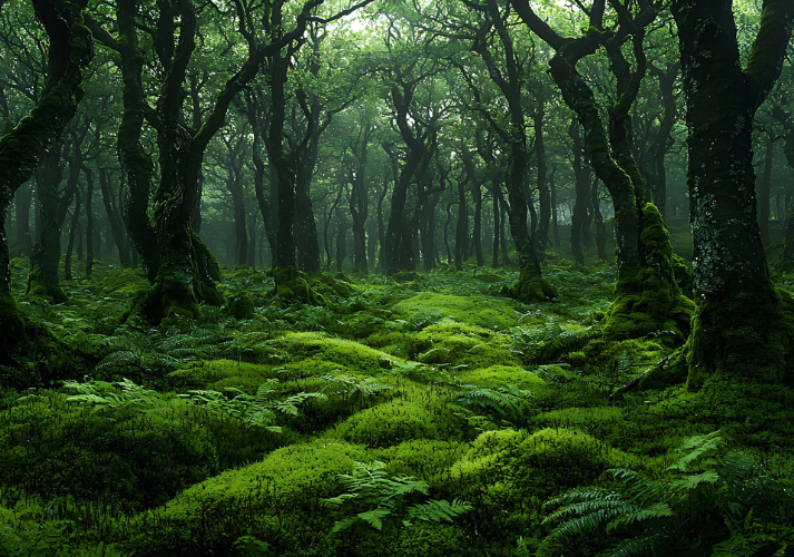
First, you see wide-open cornfields stretching across the flat land. Then, you fly over towering mountains with snow-covered peaks. A few hours later, you're passing over a huge city packed with skyscrapers—and finally, you're swooping low over a swampy forest filled with moss and gators.
That's where regions come in.
Sorting the States: What Is a Region?
A region is a way to group places that share something in common. It could be how they look, what the people are like, what the land is used for, or even what the weather is.
Think of a region like a giant sorting box—everything inside the box has something similar.
We use regions to make sense of the world. Instead of learning about every single city, mountain, or road one by one, we can group them together and spot patterns.
It helps geographers, historians, travelers—and even you!
The Three Main Types of Regions
Not all regions are created the same way. Here are three major types.
Formal Regions: Clear-Cut and Mapped Out
These regions have official boundaries that can be found on a map. Think of states, countries, or the Corn Belt. Everyone agrees on where they begin and end.
Examples: The state of Texas, the Rocky Mountains, the Sahara Desert.

Functional Regions: Connected by a Purpose
These regions are based on how things work or connect. They usually have a center and spread out from there.
Examples: A pizza delivery zone, the area covered by a school bus route, or the broadcast range of a radio station.
Perceptual Regions: Based on Beliefs and Feelings
These are regions that people believe exist, even if their boundaries aren’t clear. They’re based on culture, opinions, and identity.
Examples: The Bible Belt (known for strong religious traditions), New England, The Rust Belt (known for old factories and shrinking towns). Different people might define them differently!
More Than Just Geography
Regions can be based on the following.
Physical features: mountains, rivers, forests, deserts
Climate: hot and dry vs. cold and snowy
Culture: traditions, accents, holidays, music
Economy: farming areas, tech hubs, manufacturing zones
Politics: voting patterns or laws in different areas
Sometimes, one place can belong to more than one region at once! A city in California might be in the West, in a desert region, in a Spanish-speaking cultural area, and part of a tech economy zone—all at the same time.
Why Bother with Regions?
Regions help us in many ways.
Study areas more easily.
Understand how people live.
See how land is used.
Make comparisons.
Spot patterns across big areas.
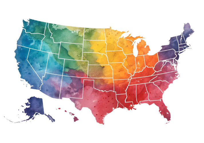
That’s why the U.S. is often divided into four main regions.
Northeast
South
Midwest
West
Each has its own look, feel, and way of life—but they’re all part of the same country.

Ready to Sort?
Now that you know what a region is and how it works, it’s time to try sorting and identifying regions on your own.
Head to the Got It? section to put your new skills to the test!

Supplies
Additional Resources




 FAVORITE
 Like
Like