Sign Up
School Account Sign Up

Lesson ID: 12067
Become a map expert! Learn how to read and create maps with symbols, directions, and keys as you explore your world one place at a time.




Let’s Get Our Bearings!
Maybe you said, “Turn left at the big tree,” or “Go straight until you see the playground.”
That’s exactly what maps do—they show us where things are and how to get there!
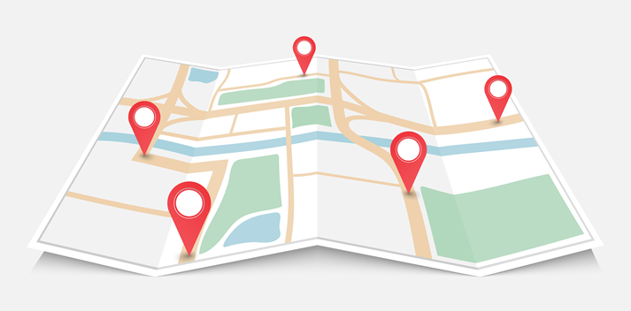
Maps are like pictures of places, but smarter. They help people find where they are, where they’re going, and what’s nearby.
Today, you’ll become a map expert—you’ll learn what maps show, how to read them, and how to make one of your very own!
What Is a Map?
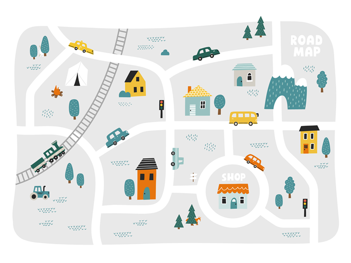
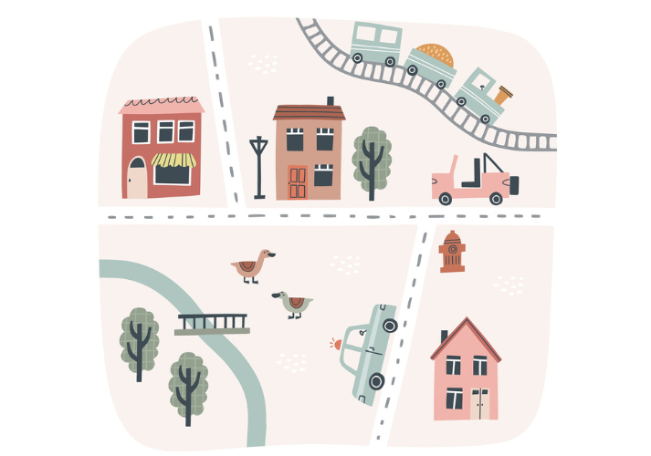
A map is a drawing that shows what a place looks like from above. It can be a picture of your street, your town, or even the whole world!
Maps help people:
Find places — like stores, schools, or parks.
Plan trips — so they know which roads to take.
Understand locations — like where a river or mountain is.
Maps come in all shapes and sizes. Some are simple and colorful. Others are big and full of details. But all maps tell a story about a place!
The Compass Rose: Your Map’s Guide
Every good map has a compass rose. It looks like a small star with points that show direction:
North
South
East
West
These are called the cardinal directions. They tell us which way to go!
You can remember them with a fun phrase:
“Never Eat Soggy Waffles” — North, East, South, West!
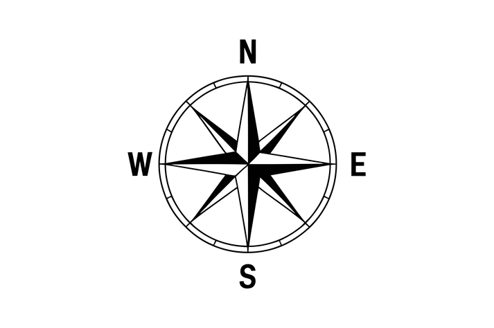
A compass rose helps you know which way is which.
If you’re looking at a map and you see the compass rose, you’ll know that north is usually at the top, south is at the bottom, east is to the right, and west is to the left.
Try this!
Stand up and point north, then turn and point east. Now west. Now south. You’re already thinking like a cartographer—a mapmaker!
Map Key (Legend): The Secret Code
A map key, also called a legend, is a little box that explains what the symbols on a map mean.
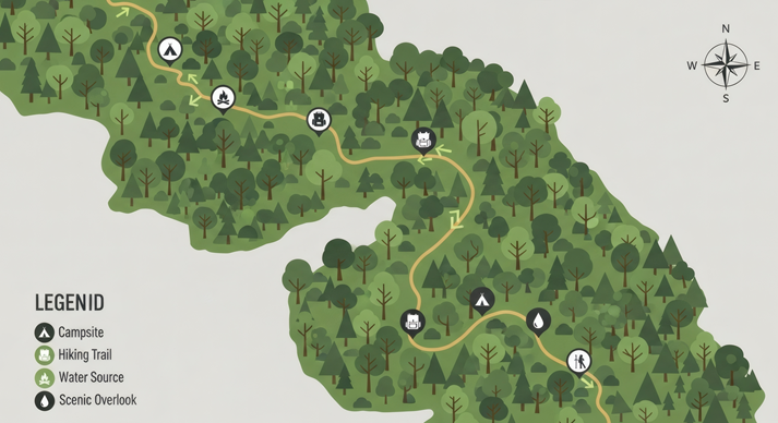
Because you can’t draw everything exactly the way it looks in real life, mapmakers use symbols and colors to represent things.
For example:
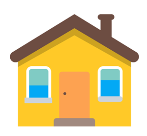 |
might stand for houses | |
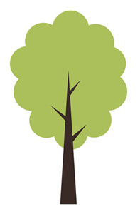 |
might mean a park | |
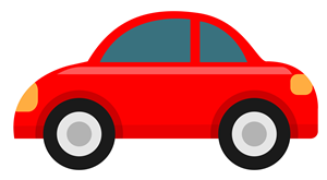 |
could show a road | |
 |
might represent a school |
The map key helps you understand those symbols. Without it, a map would be full of mystery pictures!
The Scale: How Big or Small Is It?
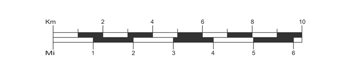
A scale shows how far apart things are in real life compared to the map.
If one inch on the map equals one mile in real life, the scale helps you imagine how long it would take to get from one place to another.
When people plan trips, they look at the scale to see how far they’ll need to travel.
Latitude and Longitude: The World’s Grid
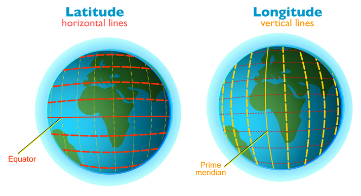
For bigger maps, like maps of the Earth, you might see lines that crisscross from top to bottom and side to side.
The lines that go across are called latitude.
The lines that go up and down are called longitude.
Together, they make a coordinate system—like an address system for the world! It helps us find exact spots on a globe.
You don’t need to memorize these lines yet, but you’ll see them as you explore more maps in the future!
Why Maps Are Amazing
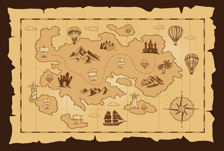
Maps do more than show us where things are—they tell stories about how people live, where they travel, and how the world connects.
There are maps of neighborhoods, treasure maps, weather maps, and even maps of outer space!
When you learn how to read a map, you can explore the world—even from your own living room.
Bringing It Home
Now that you know what a map is and how to read one, you’re ready to look more closely at your own neighborhood.
In the Got It? section, you’ll practice using directions and map symbols to find your way around.
Get ready to explore like a real-world navigator!

Supplies
Additional Resources




 FAVORITE
 Like
Like