Sign Up
School Account Sign Up

Lesson ID: 13032
Grab a paddle and follow Marquette, Jolliet, and Indigenous guides as they map the Great River and uncover where the Mississippi flows!




A River, a Rumor, and Two Canoes
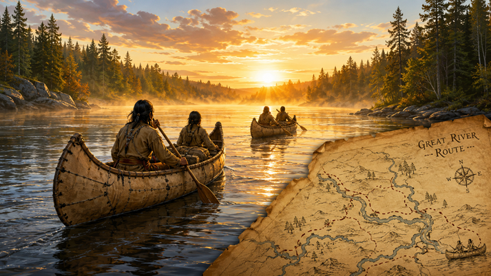
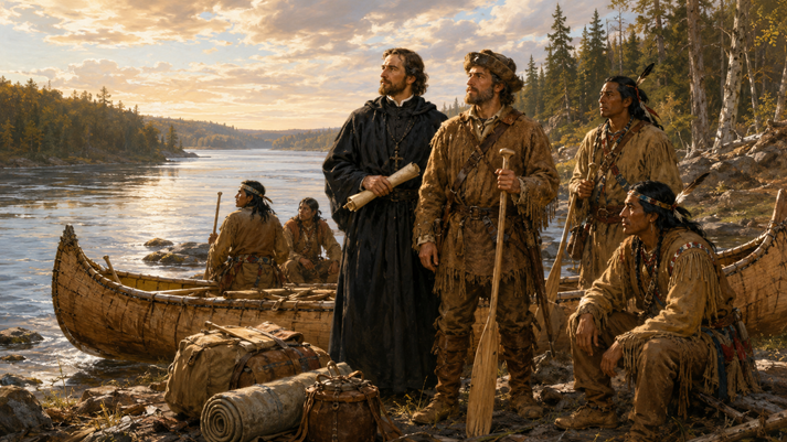
Picture this: You stand beside a canoe in 1673. You have no GPS, no weather app, no motor, and no snack aisle waiting around the next bend.
Ahead of you stretches a river so large that many people call it the Great River. French leaders want to know where it goes.
Here is the important part: this river was not new to the Indigenous nations who lived along it. They had traveled, named, mapped, traded, fished, farmed, and built communities near the river for generations.
The French were not the first to discover the Mississippi River. They were learning about it from Indigenous people and trying to record it for France.
In this lesson, you will follow Jacques Marquette and Louis Jolliet as they traveled from the Great Lakes to the Mississippi River. Their journey mixed teamwork, language skills, map-making, religious goals, trade goals, and some very soggy canoe miles.
History: now with more paddling.
The Big Question
Before Marquette and Jolliet began their trip, French explorers and leaders had a major question.
That question mattered because European countries were competing for land, trade routes, and influence in North America. France controlled New France, a large French colony that included parts of what is now Canada and the Great Lakes region.
French leaders wanted to expand trade, especially the fur trade. Missionaries wanted to build relationships with Indigenous communities and teach Christianity. Explorers wanted to map rivers, lakes, and travel routes.
The Mississippi River seemed like a giant clue on the map. If it flowed west, it might lead toward the Pacific Ocean and Asia. If it flowed south, it might lead to the Gulf of Mexico.
Either answer could change French plans in North America.
Why Language Mattered
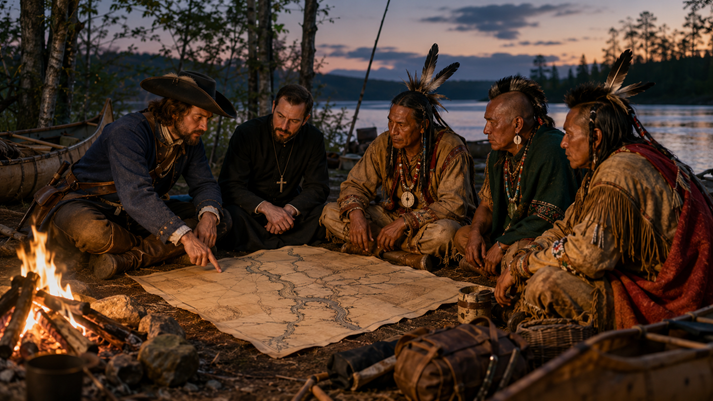
Marquette and Jolliet both had a skill that mattered as much as paddling: the ability to learn languages.
French explorers, traders, and missionaries depended on Indigenous knowledge. They needed help understanding routes, seasons, food sources, river conditions, and relationships among Native nations.
Language made that possible. Without communication, a map could become a mess fast. Turning left at the big tree is not helpful if you do not know which big tree.
Jacques Marquette became especially known for studying Indigenous languages. After he arrived in Canada, he studied Montagnais and Algonquin. Later, he learned more languages used by Indigenous communities around the Great Lakes.
He also spent time learning the language of the Illinois people because he hoped to visit them and serve as a missionary.
Louis Jolliet also spoke several languages. As a fur trader, he needed to communicate with many people across wide areas. His language skills helped him build trade relationships and gather geographic information.
Language learning did not erase the power imbalance between Europeans and Indigenous people. French explorers often used what they learned to support French expansion.
Still, communication also shows an important truth: Marquette and Jolliet could not have completed their journey without Indigenous guides, knowledge, and warnings.
Meet Jacques Marquette
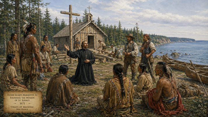
Jacques Marquette was born in Laon, France, in 1637. At age 17, he joined the Jesuits, a Catholic religious order. Jesuits often worked as teachers, scholars, and missionaries. Marquette wanted to travel to distant places as a missionary.
In 1666, he finally received his assignment: Canada. He arrived in Quebec and began learning Indigenous languages. In 1668, he traveled to Sault Sainte-Marie, an important meeting place between Lake Huron and Lake Superior.
Many Indigenous people passed through this area, so Marquette heard stories about a huge river called the Missispi or Misi-ziibi, often translated as Great River.
Later, Marquette founded a mission at Pointe du Saint-Esprit near Lake Superior. There, he met people from the Illinois Confederation, who knew about part of the Mississippi River.
Marquette wanted to visit them, learn from them, and teach Christianity. However, he could not simply grab a paddle and go. A long trip through unfamiliar territory required permission, planning, supplies, and companions.
In 1671, Marquette founded the mission of St. Ignace near the Straits of Mackinac, where Lakes Huron and Michigan meet. This location became the starting point for the Mississippi expedition.
Meet Louis Jolliet
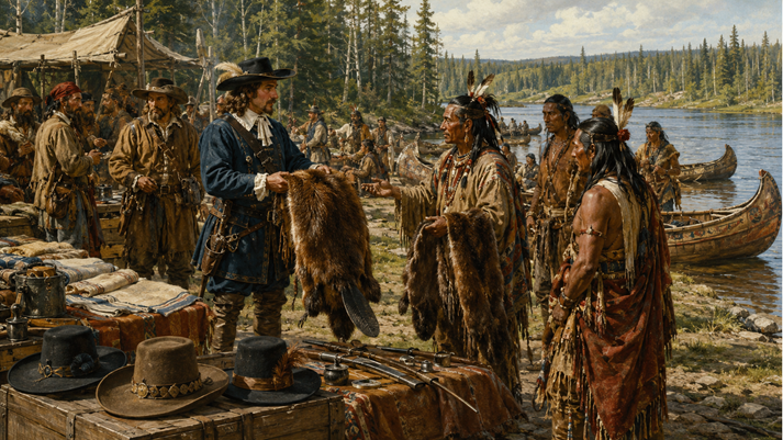
Louis Jolliet was born near Quebec in 1645. Unlike many European explorers, he was born in North America.
As a young man, he studied with the Jesuits and at first considered becoming a priest. Instead, he chose a different path. Jolliet became a fur trader and explorer.
French fur traders traveled through forests, lakes, and rivers to trade goods for animal pelts, especially beaver pelts. Beaver fur was valuable in Europe because it was used to make fashionable hats.
Yes, a lot of dangerous travel happened partly because Europe loved fancy hats. History is weird like that.
Jolliet developed strong skills in geography and map-making. He knew how to travel by canoe, read waterways, and work with people across different communities.
French leaders trusted him with an important mission: explore the Mississippi River and report where it led.
Jolliet and Marquette likely met around the Great Lakes region. They had different main goals, but their skills fit together well.
Jolliet brought experience in trade, travel, and map-making. Marquette brought language skills, missionary goals, and knowledge of Indigenous communities in the Great Lakes region.
The Mission Begins
In 1673, Governor Frontenac of New France approved an expedition to explore the Mississippi River. Jolliet received official permission to lead the journey, and Marquette joined him.
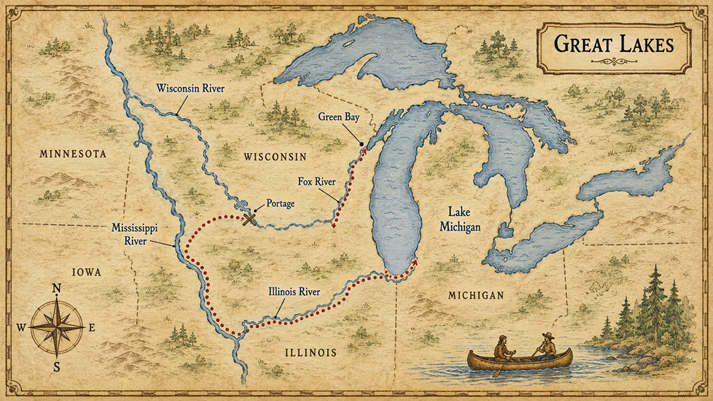
On May 17, 1673, Marquette, Jolliet, and five other men left St. Ignace in two canoes. Their route took them along Lake Michigan to Green Bay. From there, they traveled up the Fox River.
Traveling upstream meant paddling against the current, which is exactly as fun as it sounds.
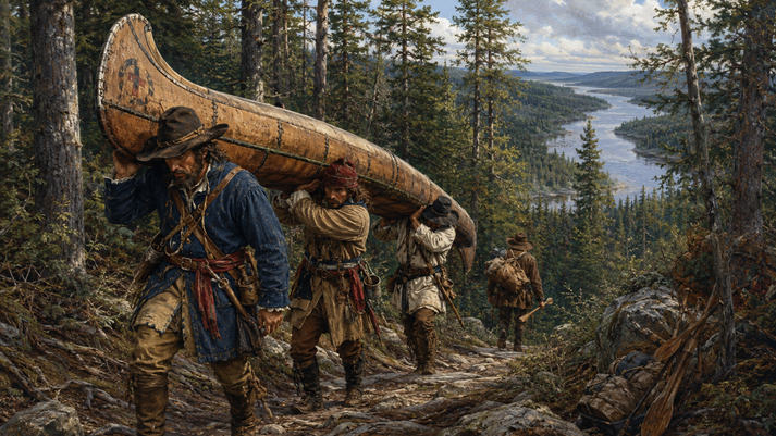
Then came a portage. A portage is a place where travelers carry canoes and supplies over land from one body of water to another.
The group carried their canoes from the Fox River to the Wisconsin River. The Wisconsin River then carried them toward the Mississippi.
On June 17, 1673, they reached the Mississippi River.
Down the Great River
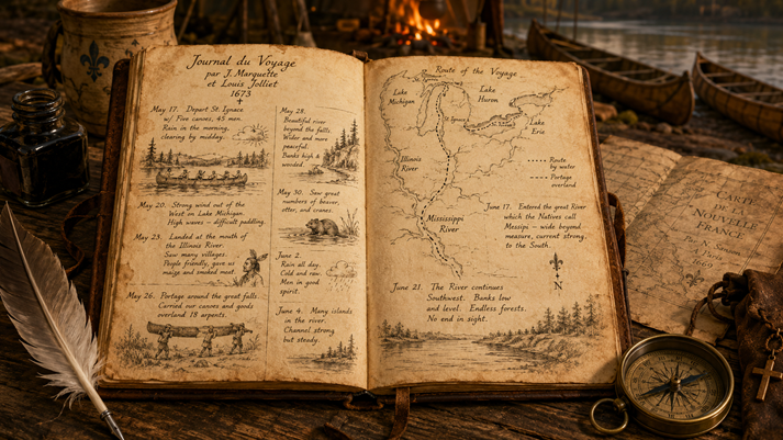
As they traveled south on the Mississippi, Marquette and Jolliet recorded what they saw. They described plants, animals, landscapes, river conditions, and river communities. They also made maps and notes.
They saw the Missouri and Ohio Rivers. These rivers helped them understand the size and importance of the Mississippi River system.
They also met Indigenous communities along the way. Some welcomed them and shared information. Others warned them about dangers farther south.
The group eventually reached an area near the Arkansas River. There, they met people connected to the Quapaw, whom French sources called the Akensae.
By this point, Marquette and Jolliet believed the Mississippi flowed south toward the Gulf of Mexico, not west toward the Pacific Ocean. That answered the main geographic question.
They had two major reasons. First, they believed they had enough evidence to report that the river flowed toward the Gulf of Mexico. Second, they worried about running into Spanish forces.
Spain controlled territory near the Gulf of Mexico, and French explorers could be captured if they traveled too far south. If that happened, their maps and notes might never reach New France.
Turning back was not quitting. It was a survival decision. Sometimes the smartest explorer is the one who knows when the river is saying, Nice try. Go home.
The Return Route
On the return trip, Marquette and Jolliet followed advice from Indigenous people and took the Illinois River. This route led them toward Lake Michigan and was easier than retracing their full path upstream.
They passed through areas near present-day Chicago before heading back toward the Great Lakes.
After the expedition, Jolliet returned to Quebec to report their findings. Unfortunately, his canoe overturned near Montreal, and many of his original notes and maps were lost.
However, he survived and was able to share what he remembered. Marquette’s journal also helped preserve information about the journey.
What They Achieved
Marquette and Jolliet did not discover the Mississippi River. Indigenous people already knew it well.
Their achievement was different: they became the first known Europeans to travel and document the northern Mississippi River route from the Great Lakes.
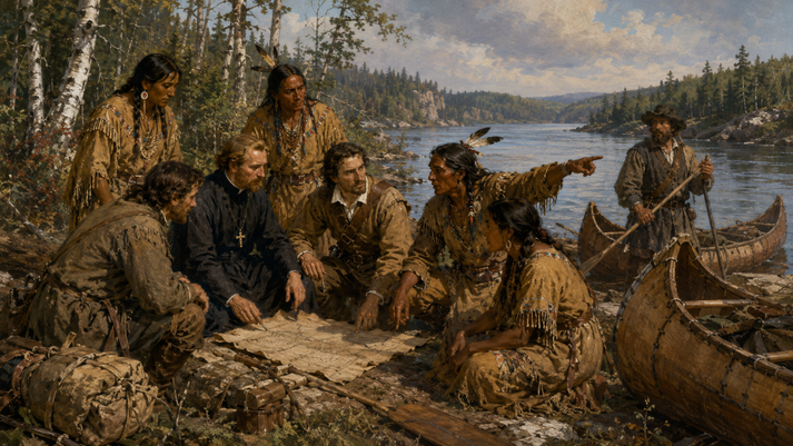
Their expedition showed that people could reach the Mississippi River from the Great Lakes by using connected rivers and portages. It also confirmed that the Mississippi flowed toward the Gulf of Mexico, not the Pacific Ocean.
This information shaped later French exploration, trade, map-making, and claims in North America.
Their journey also reminds you to view exploration from more than one perspective. For France, the trip helped expand knowledge and influence.
For Indigenous nations, European exploration brought new trade opportunities but also serious problems, including land pressure, disease, conflict, and attempts to change their cultures and beliefs.
A complete history has to hold both truths at the same time.
What Happened Next?
Marquette’s health weakened after the expedition. In 1674, he traveled again to work among the Illinois people. He became too sick to continue for a time and spent the winter near present-day Chicago.
In 1675, he founded a mission among the Illinois, then tried to return to St. Ignace. He died near present-day Ludington, Michigan, on May 18, 1675. He was 38 years old.
Jolliet continued exploring and mapping. He later described parts of the Labrador coast and the lives of Inuit communities he encountered. He died around 1700, though the exact details of his death remain unknown.
Today, places in the United States and Canada carry the names Marquette and Jolliet. These names appear on cities, rivers, schools, and landmarks.
Their journey remains important not because they found an empty wilderness, but because their trip shows how geography, language, trade, religion, Indigenous knowledge, and European competition all connected in early North American history.
Map It in Your Mind
Keep this route in mind:
That route answered the big question: the Mississippi River flowed south toward the Gulf of Mexico.
Now that you know who Marquette and Jolliet were, what they wanted, where they traveled, and why their journey mattered, you are ready to test your river-smarts.
In the Got It? section, you will review the expedition, check key details, and decide how well Marquette and Jolliet met their goals.

Supplies
Additional Resources
Suggested Reading


 FAVORITE
 Like
Like