Sign Up
School Account Sign Up
Contributor: Victoria Surface. Lesson ID: 10270
Where would you be without maps? The same place you are now, but you might not know where that is or how to get somewhere else! If that's confusing, learn about maps and make some maps yourself!


Watch these students try to fold a map properly.

Keep reading to learn more about maps than just how to fold them!
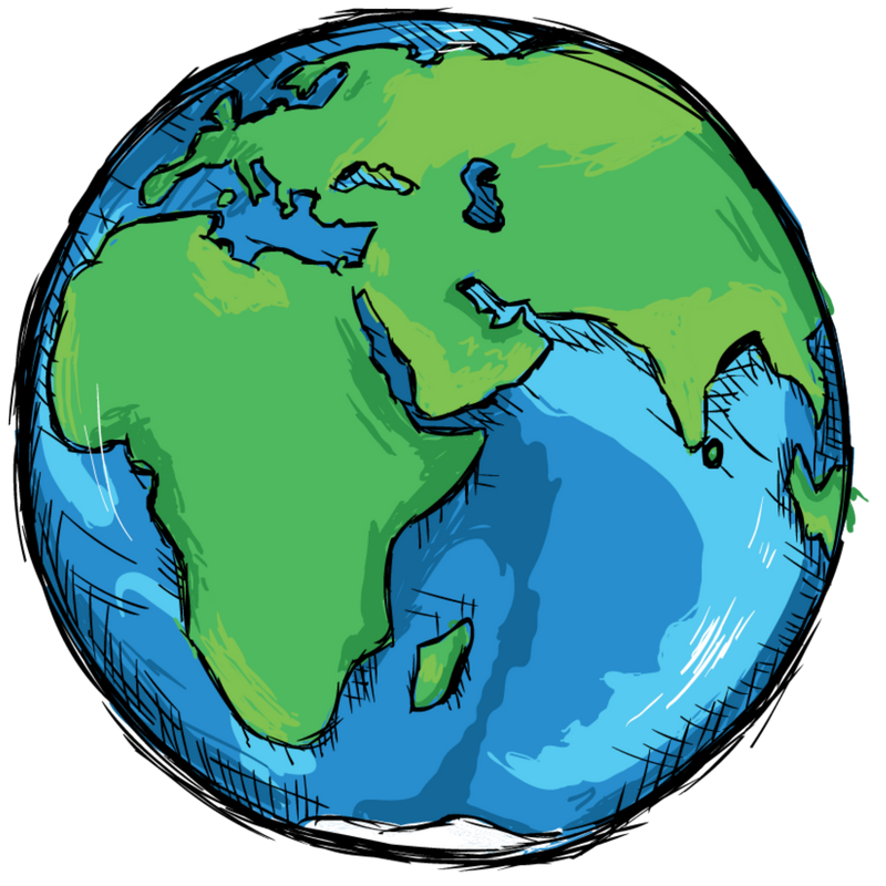
There are many kinds of maps, but they all have some basic things in common.
Let's explore identifying and using information on a map!
First, print the Understanding and Using Maps Resource Notes and Answer Key found in the Downloadable Resources in the right-hand sidebar.
Complete the missing words and sentences as you watch the video below.
Use the Answer Key on the second page of the Resource Notes to check your notes.
Next, review maps with the following video. You do not need to take notes for this one.
Now, review the essential parts of a map.
The title tells what the map is about.
A compass rose shows direction on a map.
The cardinal directions are north, south, east, and west.
Symbols are pictures on a map representing something in the real world.
A map key or legend shows what symbols on a map mean. (Do you get the joke now?)
A map scale is the distance on a map compared to the actual distance on the ground.
Get ready to practice your map skills!
Continue on to the Got It? section to make your own map!

Supplies for Make Your Own Country Activity
Supplies for Build Your Own City Project (optional)
Supplies for Country or State Salt Dough Map Project (optional)
Suggested Reading